We’re incredibly excited to announce that we just received a new $850,000, three-year grant from the Paul M. Angell Family Foundation to support facilitating a global network to monitor coral bleaching and water quality threat alerts from the Allen Coral Atlas.
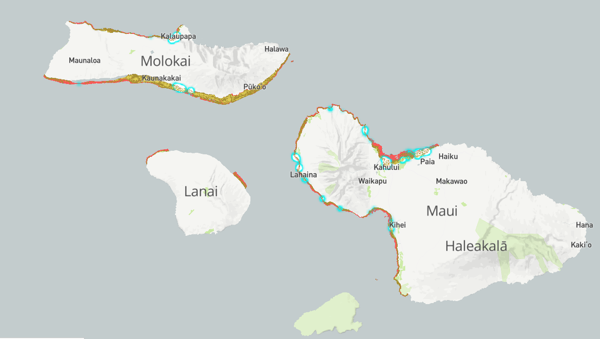
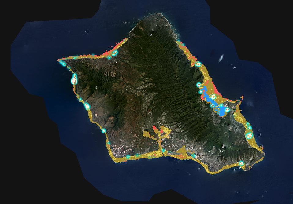
A new partner of ours, the Atlas is a collaboration of scientists and researchers who are using high-resolution satellite imagery to create freely-available standardized maps of the world’s coral reefs, and other innovative products. The potential conservation gains from this collaboration are enormous, and we’re excited to support them.
“I’m thrilled to help build this partnership between the Coral Reef Alliance (CORAL) and the Allen Coral Atlas,” says Dr. Helen Fox, CORAL’s Conservation Science Director. “The Atlas will prove to be a vital asset as we work to better understand how coral reefs are connected to each other and how we can help encourage their evolutionary response to climate change.”
Prior to joining CORAL’s team, Dr. Fox served as the lead for field engagement for the Allen Coral Atlas while based at the National Geographic Society. She helped facilitate the gathering of reef habitat data for the University of Queensland mapping team and worked to ensure the Atlas maps supported conservation impact.