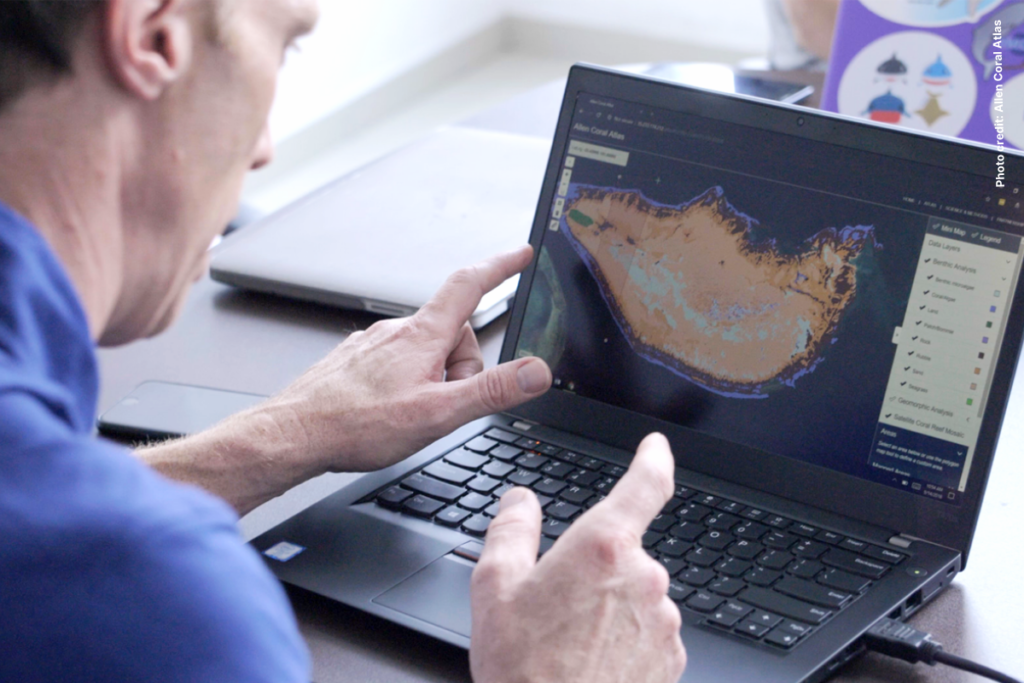
On September 8, 2021, it was officially announced that a comprehensive map and monitoring system of the world’s shallow water coral reefs, the Allen Coral Atlas, was completed. This tremendous effort was led by Arizona State University in collaboration with scientists, universities, private entities, and NGOs across the globe—including the Coral Reef Alliance. The tool is the first of its kind, using advanced algorithms and more than 2 million high-resolution satellite images to capture valuable information about the world’s coral reefs in depths of up to 15 meters.
The Allen Coral Atlas was named in memory of Paul G. Allen, Microsoft co-founder, passionate diver, and philanthropist, who was committed to expanding our understanding of coral reefs and driving policies to protect them. Following his vision, the Atlas will provide marine conservationists and governments access to data about the location and health of coral reefs.

Dr. Helen Fox, CORAL’s Conservation Science Director, has been involved with the project since its early days, and sees the value of this new technology and how it can contribute to reef conservation and management. “About three quarters of the world’s reefs have inadequate mapping and monitoring,” says Fox. “So this helps fill that data gap.”
This scientific advance comes at a critical time in history—a time where we will determine the fate of the world’s coral reefs. Every year, reefs face direct threats, along with warming global temperatures and an increasing number of coral bleaching events. In fact, scientists estimate that half of the world’s reef-building corals have already disappeared—impacting marine ecosystems and coastal communities alike.
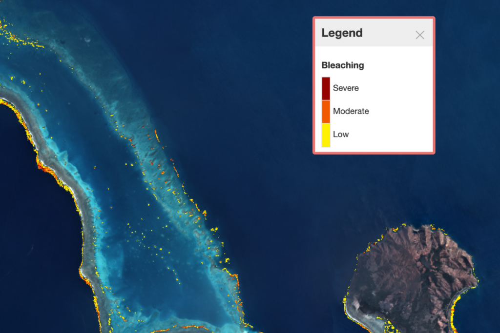
But this new technology has the potential to help put us on the right track. The maps serve multiple purposes, acting as a resource for marine spatial planning, aid for hurricane recovery, as well as data to analyze pollution and inform proposed policies for fishing regulations. It is also particularly useful when monitoring coral bleaching, a potentially deadly phenomenon that occurs when water temperatures become too warm and corals become stressed.

So far, the Allen Coral Atlas is being used in more than 30 countries and for more than 50 conservation projects. It is free, accessible, and comes with online training tools and workshops. In places like Sri Lanka and the Philippines, the Atlas is already being used when establishing marine protected areas.
“The right information and reliable updated data is very important in planning and decision making,” says Reynante Ramilo, a Program Coordinator for Community Centered Conservation in the Philippines. “The Atlas maps will enhance our work toward more efficient biophysical assessment of the marine habitats that, together with the community, we jointly aim to protect and manage through the establishment of marine protected areas.”
As more conservation initiatives and locations utilize the Atlas, field scientists are continually ground truthing its accuracy. CORAL’s Project and Outreach Manager Andrea Rivera-Sosa is a big part of that effort. Rivera-Sosa is working to bring together a collaborative, global network of field scientists who can verify coral bleaching events that satellites are detecting from space.
As a technology, the Allen Coral Atlas provides an incredible opportunity for the conservation science community to collaborate together and work toward our shared goal to save coral reefs. At CORAL, we are optimistic that this tool will assist in our efforts to respond to coral bleaching and mitigate direct reef threats, like water pollution and overfishing.
“Now that we’ve mapped the world’s shallow coral reefs, we’re moving on to new areas of innovation,” says Dr. Greg Asner, the Director of Allen Coral Atlas. “It’s our goal to support conservation, management, and policy around coral reefs for generations to come.”
